Tools for working with data from the Geostationary Operational Environmental Satellite system
pip install numpy
pip install matplotlib
pip install netcdf4
pip install s3fs
pip install opencv-python
A simple tool for downloading GOES netcdf4 files from AWS buckets using Python's s3fs library. More details can be found from here.
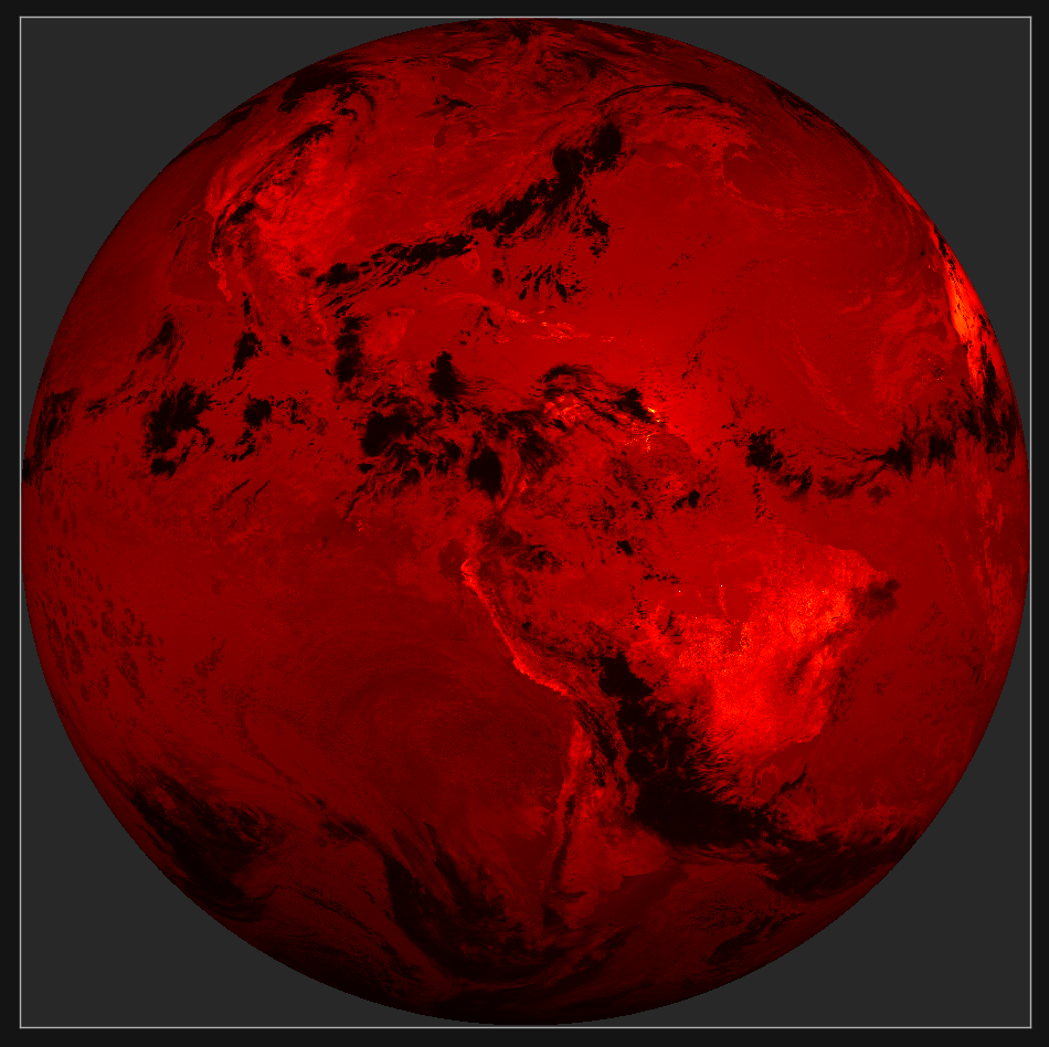
A simple tool for extracting and plotting the GOES imagery data from the netcdf4 files.
A basic wrapper class around the OpenCV VideoWriter for writing images to a video.
The final script for producing a video of some GOES-16 data as seen here. The video shows 10 days of earth observations starting on 7/19/2019, in both the Blue 0.47 um, and SWIR 3.9 um bands.